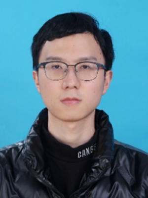
何金宸,博士生
hejch29@mail2.sysu.edu.cn
地图学与地理信息系统
教育经历
2015.09 ~ 2019.06 成都理工大学 本科 测绘工程
2019.09 ~ 2022.06 西南大学 硕士 地图学与地理信息系统
2022.09 ~至今 中山大学 博士生 地图学与地理信息系统
研究方向
无人机环境遥感、遥感测深方法与应用
导师:冯伟
Published Paper:
1. He J, Lin J, Liao X. Fully-covered bathymetry of clear tufa lakes using UAV-acquired overlapping images and neural networks [J]. Journal of Hydrology, 2022, 615: 128666. (SCI)
2. He J, Lin J, Ma M, et al. Mapping topo-bathymetry of transparent tufa lakes using UAV-based photogrammetry and RGB imagery [J]. Geomorphology, 2021, 389: 107832. (SCI)
3. He J, Lin J, Xu Y. Modeling the Relationships between the Height and Spectrum of Submerged Tufa Barrage Using UAV-Derived Geometric Bathymetry and Digital Orthoimages [J]. Sensors, 2021, 21: 6987. (SCI)


